
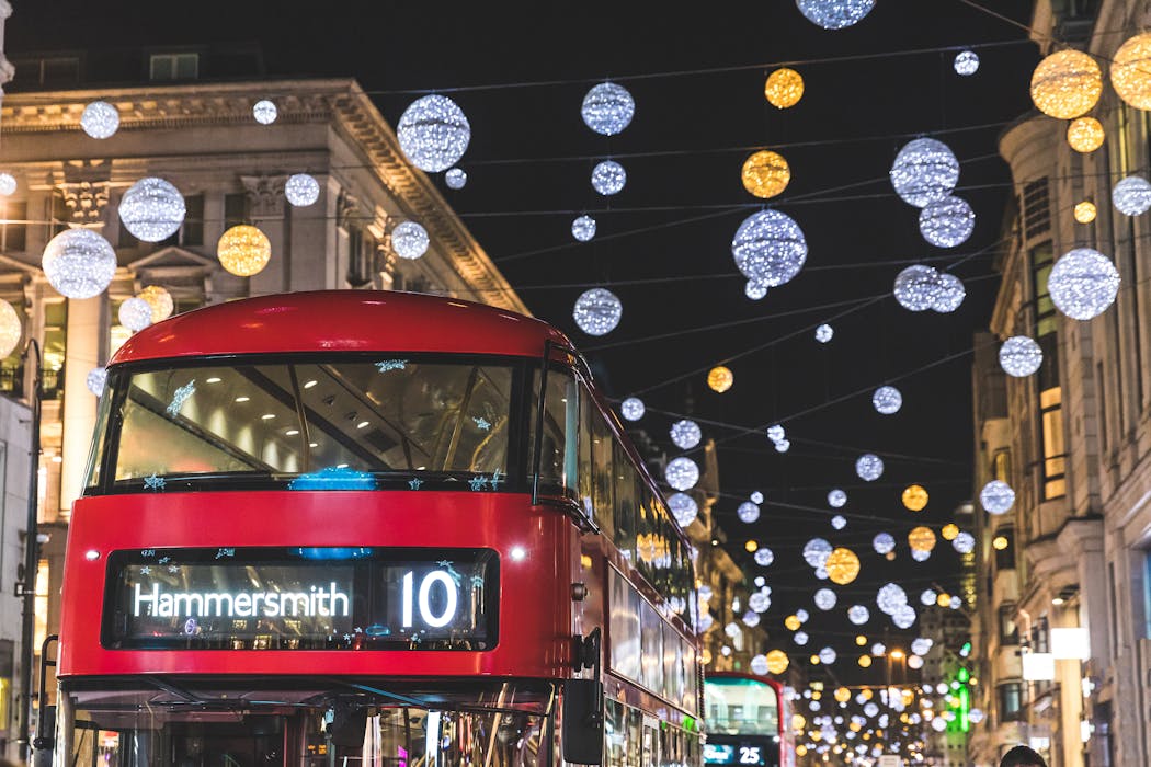
Picture yourself strolling through Christmas markets, sipping mulled wine. Would you want to spend more time exploring the city or waiting for a taxi in the cold?
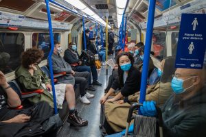
City breaks during the Christmas holiday period often promise festive lights, markets and cosy cafés – but how much of that depends on something as ordinary as a bus stop or as simple as a bike lane? Our spatial mapping using geographic information systems (GIS) of city accommodation, attractions, public transport stops and cycle paths reveals how accessibility shapes tourism in cities.
Accessibility isn’t just about convenience. It’s the difference between a stress-free festive getaway and hours stuck in traffic. It’s also about being inclusive of people with different accessibility needs (think about people using wheelchairs, strollers, crutches or mobility scooters). Tourism activities drive 10% of global GDP and account for about 9% of global carbon emissions. But poor connectivity can weaken these benefits.
Research shows that a lack of accessible transport stops people exploring. For tourists, this means fewer opportunities to discover local attractions – or worse, missing out on entire destinations. That’s a bigger problem for people with mobility needs.
Accessibility gaps don’t just inconvenience tourists; they marginalise communities. Poorly connected neighbourhoods lose out on visitor spending, cultural exchange and everyday opportunities.
The UK government’s inclusive transport strategy indicates that inaccessible bus stops and train stations prevent disabled people from participating in social activities. The result is not just fewer trips but fewer chances to work, study and connect, which creates a bigger problem – transport poverty.
Cities that integrate transport with tourism infrastructure don’t just move people, they move economies. Better accessibility boosts travellers’ confidence, satisfaction, and encourages greater spending. Since tourists often allocate a large share of their budget to local travel, making destinations easier to navigate directly increases how much they spend and how long they stay.
Read more:
Dreaming of a green Christmas? Here are five ways to make it more sustainable
GIS can help plan transport and tourism. Visitors to Copenhagen, Denmark’s capital, use GIS to plan cycle-friendly routes with details about the path, distance, cycling duration, complexity and slope conditions to help them navigate the city.
GIS also allows researchers like us to visualise what the naked eye misses. In 2024, Edinburgh welcomed 5.05 million overnight visitors, generating £2.56 billion in tourism spending.
But while the Royal Mile and city centre boast strong bus networks, facilities that promote active travel (such as bike parking and bike lanes) are lacking beyond the centre. Around Arthur’s Seat, a popular place that people visit for walking, climbing and other recreational activities, there are fewer than ten bike parking spaces in the entire area. Due to the lack of active travel options, people may choose to drive, which causes further congestion.
Cycle parking (red dots) and cycle routes in Edinburgh – note lack of cycle parking at Arthur’s Seat and limited cycle routes around the city.
Produced with OpenStreetMap and dataset from Edinburgh Council (https://data.edinburghcouncilmaps.info/maps/213d09a7cab745eb8e7cd08521419805), CC BY-NC-ND
In Manchester too, bike parking is concentrated in specific areas despite the strong cycle network around the city. This can limit the amount of cycling if people cannot easily park their bikes beyond the city centre area.
Map shows concentration of cycle parking around Manchester city centre and university areas – and lack of cycle parking elsewhere.
Produced with OpenStreetMap and dataset from the UK Government (https://www.data.gov.uk/dataset/655a1680-fe40-44c0-832f-131067256db6/gm-cycle-routes), CC BY-NC-ND
Smart tourism meets sustainable transport
The carbon footprint from air travel is high, and the amount of long-distance flights is projected to increase by 25% by 2030. Meanwhile, car travel accounts for the majority of global tourism journeys (around 77%), largely due to its flexibility, affordability and independence – but it is not the most sustainable method, of course.
Encouraging the use of buses and bikes isn’t just green, it’s strategic.
With GIS mapping, we can pinpoint where new bike lanes and bus routes can be expanded to link tourist attractions, accommodations and restaurants, to create seamless, low-carbon journeys.
Imagine cycling from your hotel to a historic site, hopping on an electric bus to a museum and strolling to dinner, all without a car. That’s not a fantasy; it’s a blueprint for sustainable tourism.
Our research shows that sustainable tourism depends on active community participation and inclusive planning whether in tourism or transport, proving that equitable access to resources leads to long-term sustainability.
During our recent fieldwork, two young wheelchair users’ faces lit up when we discussed active travel such as wheeling as well as cycling and walking. Their enthusiasm is a reminder that these groups’ travel needs should be strengthened and prioritised in future mobility planning, not treated as an afterthought.
With open-access GIS technology and datasets available, these blind spots can be exposed, giving policymakers the help they need to design fairer, more inclusive cities. Interactive GIS maps can support smart tourism apps, offering live bus schedules and bike sharing availability.
Inclusive destination planning isn’t just a policy goal. It shapes people’s travel experiences. The choices cities make about transport modes and accessibility determine whether holidays feel effortless, or exhausting.
So, what kind of Christmas travel do you want? One spent exploring joyfully, or one stuck waiting for a taxi in the cold? Before you book that festive getaway, check the map. Does your destination offer easy, sustainable access from one place to another? Will you be stuck in traffic – or will you have the freedom to walk, cycle and easily hop on a bus?
Don’t have time to read about climate change as much as you’d like?
Get a weekly roundup in your inbox instead. Every Wednesday, The Conversation’s environment editor writes Imagine, a short email that goes a little deeper into just one climate issue. Join the 47,000+ readers who’ve subscribed so far.
Harry Radzuan receives funding from the British Academy/Leverhulme to conduct this research.
Siti Intan Nurdiana Wong Abdullah receives funding from British Academy/Leverhulme to conduct this research.
Jiaying Xue does not work for, consult, own shares in or receive funding from any company or organisation that would benefit from this article, and has disclosed no relevant affiliations beyond their academic appointment.


